The Structural Racism Effect Index (SREI) quantifies the neighborhood-level impact of structural racism using nine social determinant domains, compiled at the census tract level.
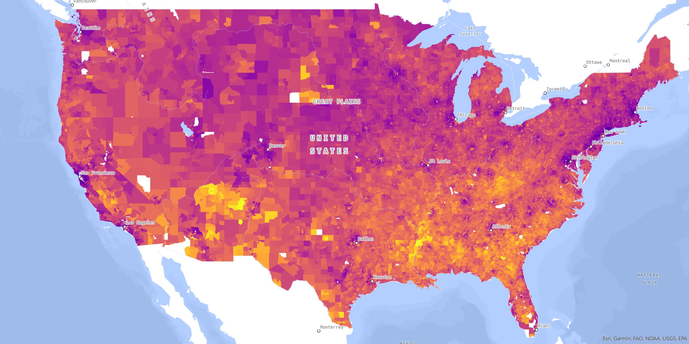
The SREI compiles data about the built environment, criminal justice, Education, employment, Housing, income & poverty, Social cohesion, transportation, and wealth.
-
Read the foundational literature in health affairs
Published on October 3 2023 in Health Affairs, “Measuring the Enduring Imprint of Structural Racism on American Neighborhoods” is a peer-reviewed paper on the initial construction and validation of the SREI.
-
Explore the data for your neighborhood
The SREI is visualized in a web map displaying information on each census tract’s overall and domain scores, relative rank compared to other neighborhoods, and ethnoracial composition.
-
What's new in SREI 2.0
Released October 2026. SREI 2.0 uses 2020 census tract boundaries and ACS 2020-2024 data, updates the criminal justice domain, and adds validated county-level scores. Earlier versions remain available so published results can be reproduced. Button: See what changed